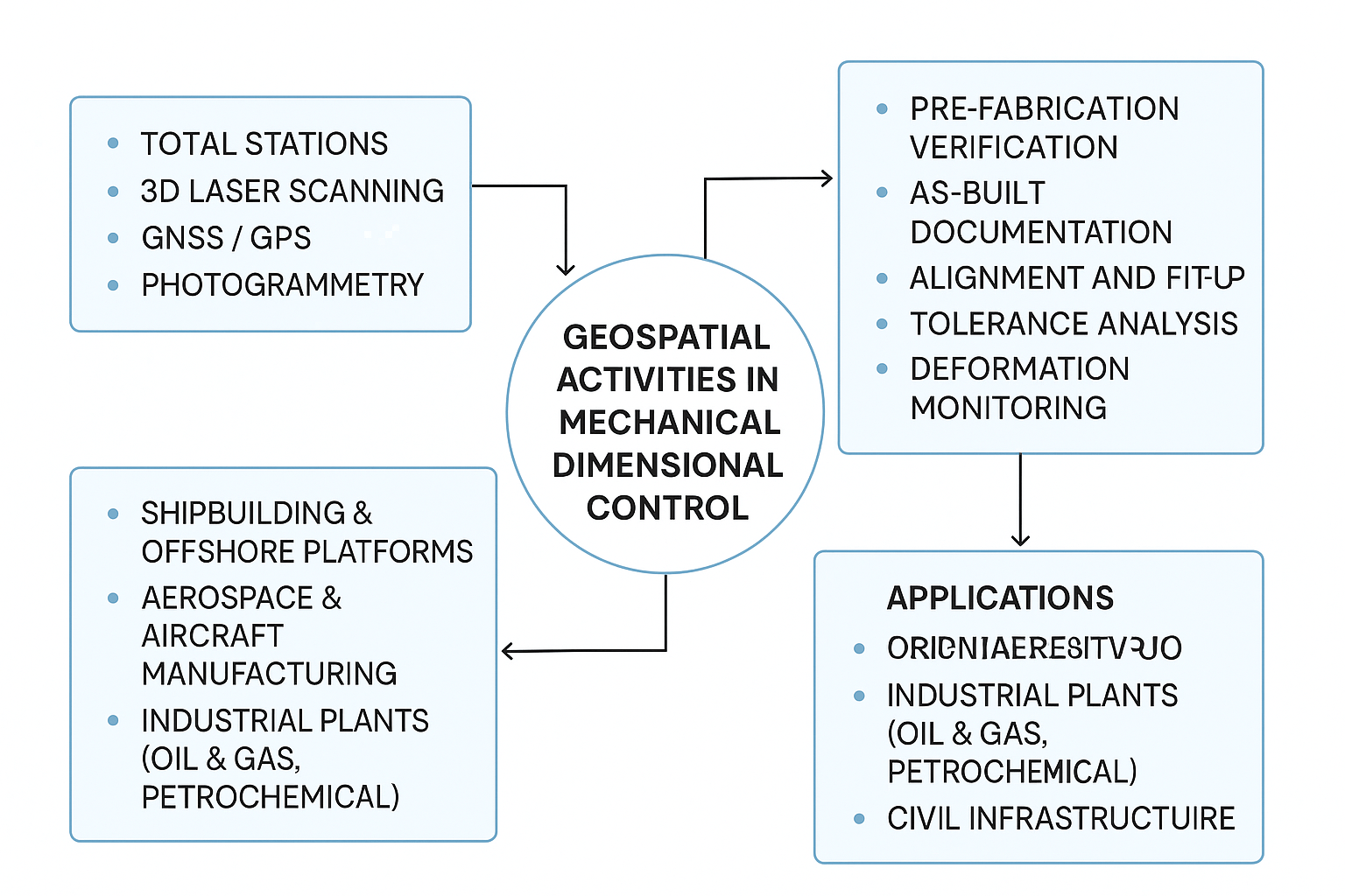
Geospatial activities in Mechanical Dimensional Control refer to the integration of geospatial technologies (like GPS, laser scanning, total stations, and 3D modeling) into mechanical and structural engineering processes to ensure precise dimensional accuracy of fabricated or assembled components. This is especially crucial in industries such as shipbuilding, aerospace, oil & gas, and industrial construction.
Key Concepts:
Geospatial Technologies Used:
- Total Stations: For measuring angles and distances with high precision.
- 3D Laser Scanning: Captures accurate 3D geometry of parts or assemblies.
- GNSS/GPS: Used in large-scale applications where location accuracy is important.
- Photogrammetry: Creating accurate 3D models from photos.
- CAD/BIM Integration: Comparing real-world measurements to design models.
Mechanical Dimensional Control Applications:
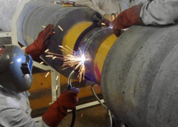
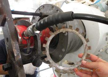
- Pre-fabrication Verification: Ensuring components match design specs before they are transported or assembled.
- As-built Documentation: Capturing actual dimensions of fabricated elements for QA/QC.
- Alignment and Fit-up: Checking the alignment of structural and mechanical parts before welding or bolting.
- Tolerance Analysis: Comparing actual vs. allowed deviations to ensure compliance with engineering tolerances.
- Deformation Monitoring: Detecting distortions during handling or installation.
Industries Where It’s Applied:
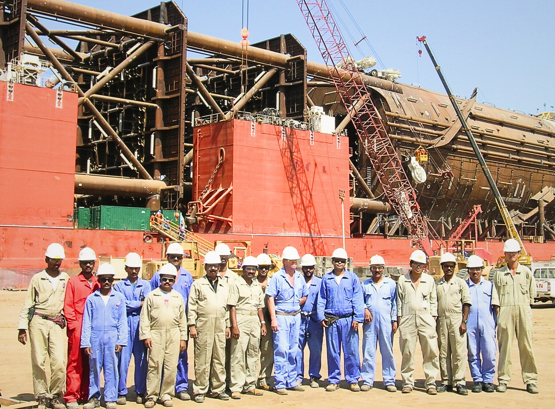
- Shipbuilding & Offshore Platforms
- Aerospace & Aircraft Manufacturing
- Industrial Plants (Oil & Gas, Petrochemical)
- Civil Infrastructure Projects (bridges, tunnels, etc.)
Summary:
Geospatial activities in mechanical dimensional control bridge the gap between design and physical reality, providing accurate, real-time data to control and verify the dimensions and alignment of mechanical components. This minimizes rework, improves safety, and ensures structural integrity.